Page Content
to Navigation
Dr. Michael Förster
Senior Scientist
Phone: +49 (0)30 / 314 - 72 79 8
Email: michael.foerster(at)tu-berlin.de
Room: EB 236b
Consultation hour: by arrangement
Date and place of birth: 1975 (Burgstädt, Saxony, Germany) |
2018 | Visiting Scientist at the Joint Research Center (JRC) in Ispra, Italy (Bioeconomy Unit) |
2012 | Visiting Scientist at the University Utrecht, Netherlands (Department of Physical Geography) |
2010 | Visiting Scientist at the European Academy Bolzano (EURAC), Italy (Institute for Applied Remote Sensing) |
since 2009 | Post-doctoral Research Fellow Technische Universität Berlin, Institute of Landscape Architecture and Environmental Planning, Department of Geoinformation Processing for Landscape and Environmental Planning |
2003-2008 | Research Scientist Technische Universität Berlin, Institute of Landscape Architecture and Environmental Planning, Department of Geoinformation Processing for Landscape and Environmental Planning |
2001-2003 | Consultant and GIS-Coordinator Environmental Consulting and Planning Agency - Froelich & Sporbeck, Potsdam, Germany |
1999-2001 | Research Associate Geo-Forschungs-Zentrum (GFZ) Potsdam, Section 1.4 (Remote Sensing) |
1998-1999 | Exchange Student (ERASMUS) University of Southampton, UK |
1996-2003 | Studies of Geoecology Universität Potsdam, Germany |
2003 | Diploma, University of Potsdam Grade: 1,1 (on a scale from 1 to 6, where 1 is highest) |
2009 | Doctorate, Technische Universität Berlin, summa cum laude |
Research Topics
- Development of methods to analyse the dynamics of ecosystems from time-series (optical and SAR), especially for degradation processes or abrupt damages (e.g. caused by fire or storms)
- Relation of temporal and spectral signals to plant traits and biophysical variables (xantophyll, nitrogen, chlorophyll and fluorescence)
- Derivation of operationalizable and comprehensive environmental indicators that are needed for the effective implementation of management measures (e.g. within the framework of the European NATURA 2000 requirements) or for a better understanding of ecosystems
- Interaction of vegetation structure, which can be measured with LiDAR or SAR, with spectral information for the evaluation of forest properties
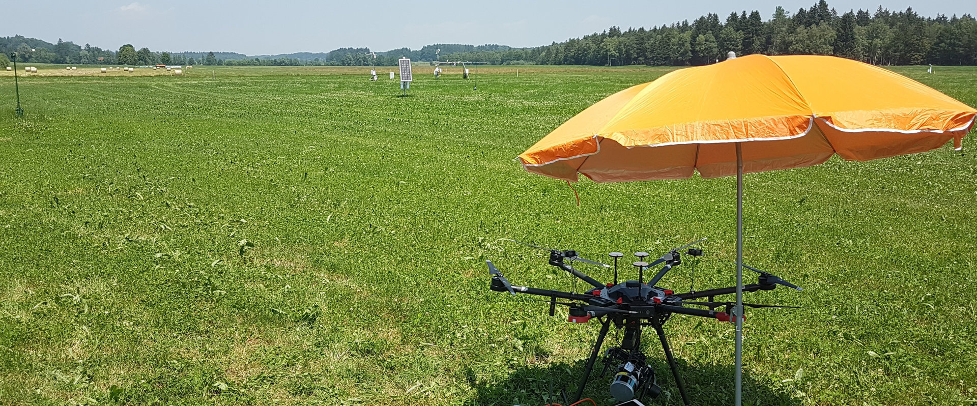
- Combining spatially very high resolution data (drones) with satellite data to understand ecohydrological processes and especially to derive hydrological variables such as soil moisture content or interception
Other Publications
Citation key | Nieland2015a |
---|---|
Author | Nieland, S. and Moran, N. and Kleinschmit, B. and Förster, M. |
Pages | 86-95 |
Year | 2015 |
ISSN | 00983004 |
DOI | 10.1016/j.cageo.2015.08.006 |
Journal | Computers & Geosciences |
Volume | 84 |
Abstract | Semantic heterogeneity remains a barrier to data comparability and standardisation of results in different fields of spatial research. Because of its thematic complexity, differing acquisition methods and national nomenclatures, interoperability of biodiversity monitoring information is especially difficult. Since data collection methods and interpretation manuals broadly vary there is a need for automatised, objective methodologies for the generation of comparable data-sets. Ontology-based applications offer vast opportunities in data management and standardisation. This study examines two data-sets of protected heathlands in Germany and Belgium which are based on remote sensing image classification and semantically formalised in an OWL2 ontology. The proposed methodology uses semantic relations of the two data-sets, which are (semi-)automatically derived from remote sensing imagery, to generate objective and comparable information about the status of protected areas by utilising kernel-based spatial reclassification. This automatised method suggests a generalisation approach, which is able to generate delineation of Special Areas of Conservation (SAC) of the European biodiversity Natura 2000 network. Furthermore, it is able to transfer generalisation rules between areas surveyed with varying acquisition methods in different countries by taking into account automated inference of the underlying semantics. The generalisation results were compared with the manual delineation of terrestrial monitoring. For the different habitats in the two sites an accuracy of above 70% was detected. However, it has to be highlighted that the delineation of the ground-truth data inherits a high degree of uncertainty, which is discussed in this study. |