Page Content
Dr. Michael Förster
[1]
- © M. Förster
Senior
Scientist
Phone: +49 (0)30 / 314 - 72 79 8
Email: michael.foerster(at)tu-berlin.de [2]
Room:
EB 236b
Consultation hour: by arrangement
Date and place of birth: 1975
(Burgstädt, Saxony, Germany) |
2018 | Visiting
Scientist at the Joint Research Center (JRC) in Ispra,
Italy (Bioeconomy Unit) |
2012 | Visiting Scientist at the
University Utrecht, Netherlands (Department of Physical
Geography) |
2010 | Visiting
Scientist at the European Academy Bolzano
(EURAC), Italy (Institute for Applied Remote
Sensing) |
since
2009 | Post-doctoral Research Fellow Technische Universität Berlin, Institute of Landscape Architecture and Environmental Planning, Department of Geoinformation Processing for Landscape and Environmental Planning |
2003-2008 | Research
Scientist Technische Universität Berlin, Institute of Landscape Architecture and Environmental Planning, Department of Geoinformation Processing for Landscape and Environmental Planning |
2001-2003 | Consultant and
GIS-Coordinator Environmental Consulting and Planning Agency - Froelich & Sporbeck, Potsdam, Germany |
1999-2001 | Research
Associate Geo-Forschungs-Zentrum (GFZ) Potsdam, Section 1.4 (Remote Sensing) |
1998-1999 | Exchange Student
(ERASMUS) University of Southampton, UK |
1996-2003 | Studies of
Geoecology Universität Potsdam, Germany |
2003 | Diploma, University
of Potsdam Grade: 1,1 (on a scale from 1 to 6, where 1 is
highest) |
2009 | Doctorate,
Technische Universität Berlin, summa cum
laude |
Research Topics
- Development of methods to analyse the dynamics of ecosystems from time-series (optical and SAR), especially for degradation processes or abrupt damages (e.g. caused by fire or storms)
- Relation of temporal and spectral signals to plant traits and biophysical variables (xantophyll, nitrogen, chlorophyll and fluorescence)
- Derivation of operationalizable and comprehensive environmental indicators that are needed for the effective implementation of management measures (e.g. within the framework of the European NATURA 2000 requirements) or for a better understanding of ecosystems
- Interaction of vegetation structure, which can be measured with LiDAR or SAR, with spectral information for the evaluation of forest properties
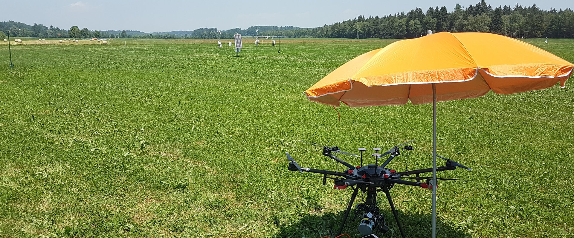
- Combining spatially very high resolution data (drones) with satellite data to understand ecohydrological processes and especially to derive hydrological variables such as soil moisture content or interception
Other Publications
Citation key | Schmidt20170 |
---|---|
Author | Schmidt, J. and Fassnacht, F. E. and Neff, C. and Lausch, A. and Kleinschmit, B. and Förster, M. and Schmidtlein, S. |
Pages | 61-71 |
Year | 2017 |
DOI | http://dx.doi.org/10.1016/j.jag.2017.04.005 |
Journal | International Journal of Applied Earth Observation and Geoinformation |
Volume | 60 |
Abstract | Remote sensing can be a valuable tool for supporting nature conservation monitoring systems. However, for many areas of conservation interest, there is still a considerable gap between field-based operational monitoring guidelines and the current remote sensing-based approaches. This hampers application in practice of the latter. Here, we propose a remote sensing approach for mapping the conservation status of Calluna-dominated Natura 2000 dwarf shrub habitats that is closely related to field mapping schemes. We transferred the evaluation criteria of the field guidelines to three related variables that can be captured by remote sensing: (1) coverage of the key species, (2) stand structural diversity, and (3) co-occurring species. Continuous information on these variables was obtained by regressing ground reference data from field surveys and UAV flights against airborne hyperspectral imagery. Merging the three resulting quality layers in an RGB representation allowed for illustrating the habitat quality in a continuous way. User-defined thresholds can be applied to this stack of quality layers to derive an overall assessment of habitat quality in terms of nature conservation, i.e. the conservation status. In our study, we found good accordance of the remotely sensed data with field-based information for the three variables key species, stand structural diversity and co-occurring vegetation (R2 of 0.79, 0.69, and 0.71, respectively) and it was possible to derive meaningful habitat quality maps. The conservation status could be derived with an accuracy of 65%. In interpreting these results it should be considered that the remote sensing based layers are independent estimates of habitat quality in their own right and not a mere replacement of the criteria used in the field guidelines. The approach is thought to be transferable to similar regions with minor adaptions. Our results refer to Calluna heathland which we consider a comparably easy target for remote sensing. Hence, the transfer of field guidelines to remote sensing indicators was rather successful in this case but needs further evaluation for other habitats. |
Bibtex Type of Publication | Kleinschmit |
Back [31]

Fachgebiet Geoinformation in der
Umweltplanung
Sekretariat EB5
Room EB 236a
Straße des 17. Juni 145
D - 10623 Berlin
Tel.: +49 (0)30 314 - 73 29 0
Fax: +49 (0)30 314 - 23 50 7
e-mail query [32]
Sekretariat EB5
Room EB 236a
Straße des 17. Juni 145
D - 10623 Berlin
Tel.: +49 (0)30 314 - 73 29 0
Fax: +49 (0)30 314 - 23 50 7
e-mail query [32]
242/passbild_foerster.jpg
parameter/en/maxhilfe/id/84343/?no_cache=1&ask_mail
=Yr8ygwABnIeq%2BeuMYLB1xt1OYb%2FrsLDXMrhqhS3lWdQXkrwuih
2Qug%3D%3D&ask_name=MICHAEL%20FOERSTER
le_and_current/staff/foerster_michael/parameter/en/maxh
ilfe/?showp=2&tx_sibibtex_pi1%5Bsort%5D=year%3A1&am
p;cHash=d582847b4786562fa14bb4ef4ec1d759
le_and_current/staff/foerster_michael/parameter/en/maxh
ilfe/?showp=3&tx_sibibtex_pi1%5Bsort%5D=year%3A1&am
p;cHash=b0cc120048bd875ff28208b56cce6454
le_and_current/staff/foerster_michael/parameter/en/maxh
ilfe/?showp=4&tx_sibibtex_pi1%5Bsort%5D=year%3A1&am
p;cHash=59a75618f86eb419502d718dc6ce7572
le_and_current/staff/foerster_michael/parameter/en/maxh
ilfe/?showp=5&tx_sibibtex_pi1%5Bsort%5D=year%3A1&am
p;cHash=c2b2b6ae03535655693b2c504efc0395
le_and_current/staff/foerster_michael/parameter/en/maxh
ilfe/?showp=2&tx_sibibtex_pi1%5Bsort%5D=year%3A1&am
p;cHash=d582847b4786562fa14bb4ef4ec1d759
le_and_current/staff/foerster_michael/parameter/en/maxh
ilfe/?tx_sibibtex_pi1%5Bcontentelement%5D=tt_content%3A
280599&tx_sibibtex_pi1%5BshowUid%5D=14917305&cH
ash=9dd6077988f69c7aeb7a527767f5a4ad
ile_and_current/staff/foerster_michael/parameter/en/max
hilfe/?tx_sibibtex_pi1%5Bcontentelement%5D=tt_content%3
A280599&tx_sibibtex_pi1%5BshowUid%5D=10461989&c
Hash=5f0e3d7b48c4cab0ab307807e65228e0
.2020.101195
ile_and_current/staff/foerster_michael/parameter/en/max
hilfe/?tx_sibibtex_pi1%5Bcontentelement%5D=tt_content%3
A280599&tx_sibibtex_pi1%5BshowUid%5D=10745230&c
Hash=e6de964359f871b2e5003c9adc69b5e4
ile_and_current/staff/foerster_michael/parameter/en/max
hilfe/?tx_sibibtex_pi1%5Bcontentelement%5D=tt_content%3
A280599&tx_sibibtex_pi1%5BshowUid%5D=10263849&c
Hash=3aff7a5cebf1d75b4c09c5c68b72c272
2289-2020
ile_and_current/staff/foerster_michael/parameter/en/max
hilfe/?tx_sibibtex_pi1%5Bcontentelement%5D=tt_content%3
A280599&tx_sibibtex_pi1%5BshowUid%5D=5317935&cH
ash=ac6532745af0eb87d484364d9f62d34a
19.102036
ile_and_current/staff/foerster_michael/parameter/en/max
hilfe/?tx_sibibtex_pi1%5Bcontentelement%5D=tt_content%3
A280599&tx_sibibtex_pi1%5BshowUid%5D=8934534&cH
ash=9a63922251a37a141a19d61db7050096
52
ile_and_current/staff/foerster_michael/parameter/en/max
hilfe/?tx_sibibtex_pi1%5Bcontentelement%5D=tt_content%3
A280599&tx_sibibtex_pi1%5BshowUid%5D=2494251&cH
ash=64f531e50531c381f2a6b2b6c6406a4e
ile_and_current/staff/foerster_michael/parameter/en/max
hilfe/?tx_sibibtex_pi1%5Bcontentelement%5D=tt_content%3
A280599&tx_sibibtex_pi1%5BshowUid%5D=1505539&cH
ash=fa476cb05347a38aba171be4724e76e7
ile_and_current/staff/foerster_michael/parameter/en/max
hilfe/?tx_sibibtex_pi1%5Bcontentelement%5D=tt_content%3
A280599&tx_sibibtex_pi1%5BshowUid%5D=1505540&cH
ash=07957d867e8738771b5c372c22c82d21
ile_and_current/staff/foerster_michael/parameter/en/max
hilfe/?tx_sibibtex_pi1%5Bcontentelement%5D=tt_content%3
A280599&tx_sibibtex_pi1%5BshowUid%5D=1267746&cH
ash=da5adc186954c1d315df231be307771e
ile_and_current/staff/foerster_michael/parameter/en/max
hilfe/?showp=2&tx_sibibtex_pi1%5Bsort%5D=year%3A1&a
mp;cHash=d582847b4786562fa14bb4ef4ec1d759
ile_and_current/staff/foerster_michael/parameter/en/max
hilfe/?showp=3&tx_sibibtex_pi1%5Bsort%5D=year%3A1&a
mp;cHash=b0cc120048bd875ff28208b56cce6454
ile_and_current/staff/foerster_michael/parameter/en/max
hilfe/?showp=4&tx_sibibtex_pi1%5Bsort%5D=year%3A1&a
mp;cHash=59a75618f86eb419502d718dc6ce7572
ile_and_current/staff/foerster_michael/parameter/en/max
hilfe/?showp=5&tx_sibibtex_pi1%5Bsort%5D=year%3A1&a
mp;cHash=c2b2b6ae03535655693b2c504efc0395
ile_and_current/staff/foerster_michael/parameter/en/max
hilfe/?showp=2&tx_sibibtex_pi1%5Bsort%5D=year%3A1&a
mp;cHash=d582847b4786562fa14bb4ef4ec1d759
0303243417300892
ile_and_current/staff/foerster_michael/parameter/en/max
hilfe/?no_cache=1&tx_sibibtex_pi1%5Bdownload_bibtex
_uid%5D=1299932&tx_sibibtex_pi1%5Bcontentelement%5D
=tt_content%3A535511
ile_and_current/staff/foerster_michael/parameter/en/max
hilfe/
/parameter/en/maxhilfe/id/84343/?no_cache=1&ask_mai
l=Yr8ygwAFwmmmQs9wFWoPWqst1c8Q1a3tg%2BEeBkrRBiEIETd8HPK
Z1CVfhP9pRj1g&ask_name=Fachgebiet%20Geoinformation%
20in%20der%20Umweltplanung
Zusatzinformationen / Extras
Quick Access:
Schnellnavigation zur Seite über Nummerneingabe
Auxiliary Functions
This site uses Matomo for anonymized webanalysis. Visit Data Privacy for more information and opt-out options.
Copyright TU Berlin 2008