Inhalt des Dokuments
Prof. Dr. Birgit Kleinschmit
Fachgebietsleiterin
Tel.: +49 (0)30 / 314 - 72 84 7
E-Mail: birgit.kleinschmit(at)tu-berlin.de
Raum: EB 235a
Sprechstunde: nach Vereinbarung
2011 | Ernennung zur Universitätsprofessorin und Leiterin des Fachgebiets Geoinformation in der Umweltplanung an der Technischen Universität Berlin |
2003-2011 | Juniorprofessorin am Fachgebiet für Geoinformationsverarbeitung in der Umweltplanung an der Technischen Universität Berlin |
2001-2003 | Softwareentwicklerin bei der INTEND Geoinformatik GmbH in Kassel |
2001 | Promotion zum Dr. forest an der Universität Göttingen (magna cum laude) |
1998-2001 | Wissenschaftliche Mitarbeiterin an der Universität Göttingen am Institut für Forsteinrichtung, Ertragskunde und Fernerkundung |
1993-1998 | Studium der Forstwissenschaften an der Universität Göttingen |
1973 | in Münster, Westfalen geboren |
Forschungsinteressen
- Skalenübergreifende Analyse von Landnutzungsänderungen mit Hilfe von Geographischen Informationssystemen (GIS und Fernerkundung) zum besseren Verständnis des Mensch-Umweltsystems
- Modellierung von raum-zeitlichen Änderungen der Umwelt und Bewertung der Einflüsse auf Menschen und Ökosysteme
- Wissensbasierte Kombination von Geoinformationen und Fernerkundungsdaten
- Evaluierung neuer Sensortechnologien
Wichtige Funktionen, Auszeichnungen, Ehrungen
Seit 2019
- Mitglied im wissenschaftlichen Beirat für Waldpolitik des Bundesministerium für Ernährung und Landwirtschaft
- Mitglied im Transferbeirat der TU Berlin
Seit 2018
- stellvertretende Geschäftsführende Direktorin des Institutes für Landschaftsarchitektur und Umweltplanung, TU Berlin
Seit 2015
- Co-Speakerin der DFG research training group Urban Water Interfaces
Seit 2016
- Mitglied im Auswahl- und Lenkungsausschusses der Berlin International Graduate School in Model and Simulation based Research (BIMoS), TU Berlin
2012-2018
- Leiterin der Special Interest Group „Analysis of remote sensing data” der deutschen Gesellschaft für Photogrammetrie, Remote Sensing und Geoinformation
Seit 2018
- Mitglied der Kommission für die Vergabe von Promotionsstipendien der Elsa-Neumann-Stiftung
Seit 2010
- Mitglied im Lenkungsausschuss des Geo.X – Forschungsnetzwerks für Geowissenschaften in Berlin und Potsdam
Weitere Publikationen
Zitatschlüssel | Döpper2021 |
---|---|
Autor | Veronika U. Döpper and Alby Duarte Rocha and Tobias Gränzig and Birgit Kleinschmit and Michael Förster |
Jahr | 2021 |
ISSN | 0277-786X |
DOI | https://doi.org/10.1117/12.2600296 |
Journal | Proc. SPIE 11856, Remote Sensing for Agriculture, Ecosystems, and Hydrology XXIII |
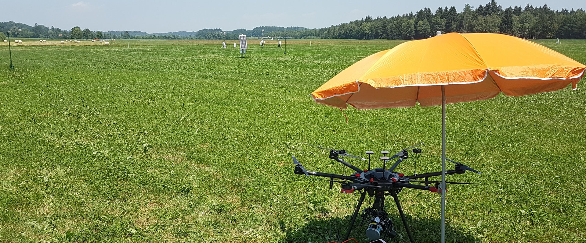
Zusammenfassung | Soil moisture content (SMC) is a key parameter of environmental processes. Remote sensing provides effective methods for mapping SMC at different spatial resolutions. Using UAS-borne hyperspectral observations enables a SMC retrieval at sub-meter scales. Radiative transfer models (RTMs) such as ProSAIL or Scope include a SMC specific input variable and are thus a potential tool to derive SMC and avoiding extensive reference SMC measurements. The inverse application of RTMs supplies information on SMC and plant traits. Scope and ProSAIL involve SMC data of the root zone and at the surface, respectively. The combined use of both models offers the possibility to derive SMC at two vertical depths. Moreover, SMC relevant vegetation proxies such as leaf water content can be retrieved and alternatively used as indicator for SMC. Such plant traits are highest correlated to SMC at depths of major water uptake. However, their response can have a significant time-lag. We analyze the derivation of SMC at the soil surface and at the root zone using the SMC parameters within existing RTMs. As a first step, we investigate on the sensitivity of ProSAIL and Scope to their soil moisture parameters. We apply these findings on UAS-borne hyperspectral and TIR imagery acquired over a pre-alpine TERENO grassland area. The site is equipped with a SoilNet that measures SMC at different depths. Using this data, we assess the vertical extent of both soil moisture content parameters. By inverse modelling of the vegetation parameters and the use of the temporally continuous SoilNet data at root zone level, we analyze the time-lag between changes in SMC and the corresponding plant trait response to optimize the retrieval of SMC. |
Typ der Publikation | Kleinschmit |
Zusatzinformationen / Extras
Direktzugang
Schnellnavigation zur Seite über Nummerneingabe
Hilfsfunktionen
Diese Seite verwendet Matomo für anonymisierte Webanalysen. Mehr Informationen und Opt-Out-Möglichkeiten unter Datenschutz.

Fachgebiet Geoinformation in der Umweltplanung
Sekretariat EB5
Raum EB 236a
Straße des 17. Juni 145
D - 10623 Berlin
Tel.: +49 (0)30 314 - 73 29 0
Fax: +49 (0)30 314 - 23 50 7
E-Mail-Anfrage
Sekretariat EB5
Raum EB 236a
Straße des 17. Juni 145
D - 10623 Berlin
Tel.: +49 (0)30 314 - 73 29 0
Fax: +49 (0)30 314 - 23 50 7
E-Mail-Anfrage