Inhalt des Dokuments
Dr. Michael Förster
Wissenschaftlicher Mitarbeiter (Senior Scientist)
Tel.: +49 (0)30 / 314 - 72 79 8
E-Mail: michael.foerster(at)tu-berlin.de
Raum: EB 236b
Sprechstunde: nach Vereinbarung
1975 | in Burgstädt, Sachsen geboren |
1996-2003 | Studium der Geoökologie in Potsdam |
1998/99 | Studium an der University of Southampton |
2003 | GIS - Koordinator beim Planungsbüro Froelich & Sporbeck |
2003-2008 | Wissenschaftlicher Mitarbeiter am Fachgebiet für Geoinformationsverarbeitung in der Landschafts- und Umweltplanung im Institut für Landschaftsarchitektur und Umweltplanung an der Technischen Universität Berlin |
seit Jan. 2009 | Wissenschaftlicher Mitarbeiter (PostDoc) am Fachgebiet für Geoinformationsverarbeitung in der Landschafts- und Umweltplanung im Institut für Landschaftsarchitektur und Umweltplanung an der Technischen Universität Berlin |
2010 | Gastwissenschaftler an der European Academy Bolzano (EURAC), Italien (Institute for Applied Remote Sensing) |
2012 | Gastwissenschaftler and der Universität Utrecht, Niederlande (Department of Physical Geography) |
2018 | Gastwissenschaftler am Joint Research Center (JRC) in Ispra, Italien (Bioeconomy Unit) |
Forschungsschwerpunkte
- Entwicklung von Methoden zur Analyse der Dynamik von Ökosystemen aus Zeitreihen (optisch und SAR), speziell bei Degradationsprozessen oder abrupten Schäden (z.B. durch Feuer oder Stürme)
- Relation von temporalen und spektralen Signalen zu Pflanzeneigenschaften und biophysikalischen Variablen (Xantophyll, Stickstoff, Chlorophyll und Fluoreszenz)
- Ableitung von operationalisierbaren und flächendeckenden Umweltindikatoren, die zur effektiven Umsetzung von Managementmaßnahmen (z.B. im Rahmen der europäischen Vorgaben zu NATURA 2000) oder zum besseren Verständnis von Ökosystemen benötigt werden
- Interaktion von Vegetationsstruktur, welche mit LiDAR oder SAR erhoben werden kann, mit spektralen Eigenschaften, welche speziell bei der Auswertung von bewaldeten Gebieten eine große Rolle spielen
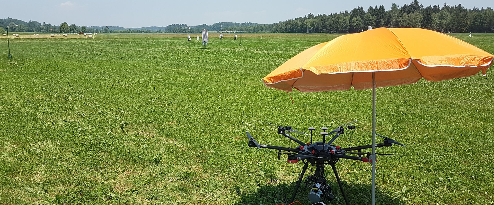
- Gemeinsame Nutzung von räumlich sehr hoch aufgelösten Daten (Drohnen) mit Satellitendaten, entweder zum Verständnis von ökohydrologischen Prozessen und speziell zum Ableiten von hydrologischen Variablen, wie Bodenfeuchtegehalt oder Interzeption
Zeitschriftenbeiträge
Zitatschlüssel | baur2015a |
---|---|
Autor | Baur, A. H. and Förster, M. and Kleinschmit, B. |
Jahr | 2015 |
DOI | 10.1007/s10980-015-0169-5 |
Journal | Landscape Ecology |
Verlag | Springer |
Zusammenfassung | Abstract Context Integrative mitigation and adaptation strategies are needed to counter climate change. Indicators can be valuable that focus on the specific relevance of cities’ socioeconomic and spatial properties. While previous analyses have identified socioeconomic influences on urban greenhouse gas emissions, information about the role of spatial urban structures and land use and land cover patterns is sparse. Objective This study advances the use of spatial metrics for analyzing the linkages between the spatial properties of a city and its greenhouse gas emissions. Methods The relationship between nine types of spatial structure, four land use and land cover-based indicators, and the emissions of 52 European cities is investigated by spatially and statistically analyzing high resolution data from European Union’s ‘‘Urban Atlas’’. Results Spatial determinants of urban greenhouse gas emissions are identified, indicating a strong connection between urban sprawl and increasing emissions. In particular, high amounts of sparsity in the urban fabric within large distances to the city center relate to increased per capita emissions. Thus, a 10 % reduction of very low density urban fabrics is correlated with 9 % fewer emissions per capita. In contrast, high amounts of fragmented, dense urban patches relate with lower emissions. Conclusions This study links urban spatial properties and land use and land cover compositions to greenhouse gas emissions and advances the understanding of urban sprawl. Future research needs to combine knowledge about socioeconomic drivers with information about the identified spatial influences of urban greenhouse gas emissions to help cities realize their climate change mitigation potential. |
Zusatzinformationen / Extras
Direktzugang
Schnellnavigation zur Seite über Nummerneingabe
Hilfsfunktionen
Diese Seite verwendet Matomo für anonymisierte Webanalysen. Mehr Informationen und Opt-Out-Möglichkeiten unter Datenschutz.

Fachgebiet Geoinformation in der Umweltplanung
Sekretariat EB5
Raum EB 236a
Straße des 17. Juni 145
D - 10623 Berlin
Tel.: +49 (0)30 314 - 73 29 0
Fax: +49 (0)30 314 - 23 50 7
E-Mail-Anfrage
Sekretariat EB5
Raum EB 236a
Straße des 17. Juni 145
D - 10623 Berlin
Tel.: +49 (0)30 314 - 73 29 0
Fax: +49 (0)30 314 - 23 50 7
E-Mail-Anfrage